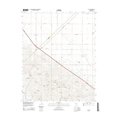
2015 Map of La Cima
USGS Topo · Published 2015About this map
The Avenal area of Kings and Fresno counties sits at the intersection of a vast water infrastructure project and the geological formations of the Kettleman Hills. The Governor Edmund G Brown California Aqueduct cuts a sharp line across the plains, facilitating the agriculture of the San Joaquin Valley while bypassng the smaller settlements of Murray and Central Valley. The southern portion of the map is dominated by the complex topography of the hills, where features like Hydril Hill and Discovery Ridge reveal the region's relationship with industry and oil exploration. Landowners and researchers can trace the many drainages that carve this arid landscape, from Arroyo Vadoso in the north to the network of arroyos near La Cima, including Arroyo Doblegado and Arroyo Degollado. The layout of Avenal itself is shown in its 2015 configuration, surrounded by canyons and ridges such as Horse Canyon and Cerro Lodoso.
Find a feature on this map
74 named features on this map. Tap any name to fly to it.
Don’t see what you’re looking for? This feature index may not catch every label — zoom into the map to look around manually.
Map Details
Editions of this 2015 La Cima Map
This is the sole edition of this map. No revisions or reprints were ever made.
Other maps of this area

1912 · Coalinga
USGS Topo · 1:125,000

1914 · Lost Hills
USGS Topo · 1:125,000

1914 · Cholame
USGS Topo · 1:125,000

1915 · Cholame
USGS Topo · 1:125,000

1917 · Cholame
USGS Topo · 1:125,000

1929 · Westhaven
USGS Topo · 1:31,680

1930 · Discovery Well
USGS Topo · 1:31,680

1930 · Canoas Creek
USGS Topo · 1:31,680

1930 · Kettleman Plain
USGS Topo · 1:31,680

1930 · Middle Dome
USGS Topo · 1:31,680