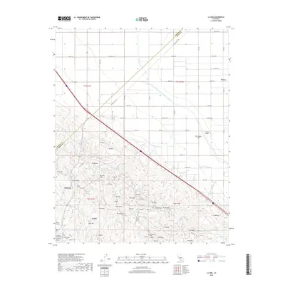
2018 Map of La Cima
USGS Topo · Published 2018About this map
The Kettleman Hills rise prominently from the floor of the Central Valley, showcasing a landscape deeply carved by numerous intermittent watercourses such as Arroyo Torcido and Arroyo Largo. This 2018 survey captures the industrial and agricultural character of southwestern Kings Co, where the Governor Edmund G Brown California Aqueduct cuts a precise line across the flatlands toward the foothills. The terrain transition is marked by features like Discovery Ridge and Double Hill, indicating the complex geological folding of the area.
Find a feature on this map
87 named features on this map. Tap any name to fly to it.
Don’t see what you’re looking for? This feature index may not catch every label — zoom into the map to look around manually.
Map Details
Editions of this 2018 La Cima Map
This is the sole edition of this map. No revisions or reprints were ever made.
Other maps of this area

1912 · Coalinga
USGS Topo · 1:125,000

1914 · Lost Hills
USGS Topo · 1:125,000

1914 · Cholame
USGS Topo · 1:125,000

1915 · Cholame
USGS Topo · 1:125,000

1917 · Cholame
USGS Topo · 1:125,000

1929 · Westhaven
USGS Topo · 1:31,680

1930 · Discovery Well
USGS Topo · 1:31,680

1930 · Canoas Creek
USGS Topo · 1:31,680

1930 · Kettleman Plain
USGS Topo · 1:31,680

1930 · Middle Dome
USGS Topo · 1:31,680