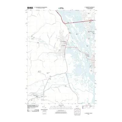
2010 Map of La Crescent
USGS Topo · Published 2010About this map
The Mississippi River and its intricate network of islands and backwaters dominate this 2010 survey of the borderlands between Minnesota and Wisconsin. Several large islands, including French Island, Minnesota Island, and Barron Island, define the river's path, while smaller landforms like Isle La Plume sit within the complex waterway. Along the western bluffs, the communities of La Crescent and Hokah are centers of activity, connected by roads such as County HWY-1 and County HWY-6 that traverse the inland valleys.
Find a feature on this map
70 named features on this map. Tap any name to fly to it.
Don’t see what you’re looking for? This feature index may not catch every label — zoom into the map to look around manually.
Map Details
Editions of this 2010 La Crescent Map
This is the sole edition of this map. No revisions or reprints were ever made.
Other maps of this area

1926 · Stoddard
USGS Topo · 1:62,500

1927 · La Crosse
USGS Topo · 1:62,500

1930 · La Crescent
USGS Topo · 1:62,500

1930 · La Crosse
USGS Topo · 1:62,500

1956 · Brownsville
USGS Topo · 1:62,500

1956 · La Crescent
USGS Topo · 1:62,500

1958 · La Crosse
USGS Topo · 1:250,000

1961 · La Crosse
USGS Topo · 1:250,000
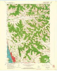
1963 · Onalaska
USGS Topo · 1:24,000
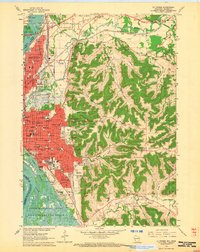
1963 · La Crosse
USGS Topo · 1:24,000