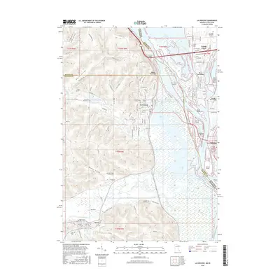
2016 Map of La Crescent
USGS Topo · Published 2016About this map
The Mississippi River and its intricate network of side channels dominate this landscape where Minnesota and Wisconsin meet. Major islands like Minnesota Island and Taylor Island sit amidst a complex hydrology of backwaters including Smith Slough and Broken Arrow Slough. On the western bluffs, the settlement of La Crescent overlooks the river valley, while Hokah sits further south along the Root River. The terrain is defined by steep-walled valleys such as Burns valley and Pfeffer Valley, which cut through the limestone uplands.
Find a feature on this map
104 named features on this map. Tap any name to fly to it.
Don’t see what you’re looking for? This feature index may not catch every label — zoom into the map to look around manually.
Map Details
Editions of this 2016 La Crescent Map
This is the sole edition of this map. No revisions or reprints were ever made.
Other maps of this area

1926 · Stoddard
USGS Topo · 1:62,500

1927 · La Crosse
USGS Topo · 1:62,500

1930 · La Crescent
USGS Topo · 1:62,500

1930 · La Crosse
USGS Topo · 1:62,500

1956 · Brownsville
USGS Topo · 1:62,500

1956 · La Crescent
USGS Topo · 1:62,500

1958 · La Crosse
USGS Topo · 1:250,000

1961 · La Crosse
USGS Topo · 1:250,000
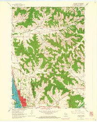
1963 · Onalaska
USGS Topo · 1:24,000
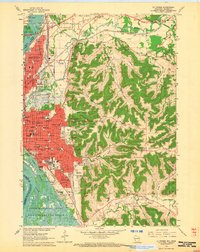
1963 · La Crosse
USGS Topo · 1:24,000