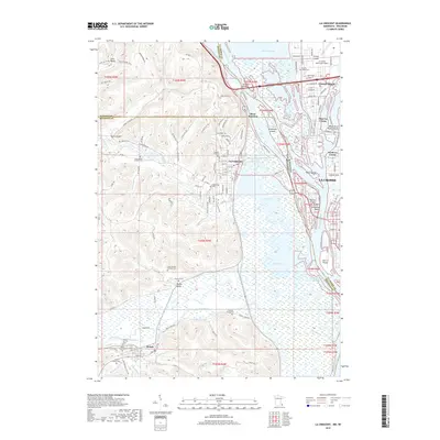
2019 Map of La Crescent
USGS Topo · Published 2019About this map
The Mississippi River forms a complex maze of islands and sloughs along the Minnesota and Wisconsin border, defining the geography of La Crescent and its surroundings. The river's vast floodplain is a patchwork of water and land, including Blue Lake, Target Lake, and Taylor Island. To the west, the terrain rises into the bluffs where Lanes Valley and Burns Valley are tucked between steep ridges.
Find a feature on this map
145 named features on this map. Tap any name to fly to it.
Don’t see what you’re looking for? This feature index may not catch every label — zoom into the map to look around manually.
Map Details
Editions of this 2019 La Crescent Map
This is the sole edition of this map. No revisions or reprints were ever made.
Other maps of this area

1926 · Stoddard
USGS Topo · 1:62,500

1927 · La Crosse
USGS Topo · 1:62,500

1930 · La Crescent
USGS Topo · 1:62,500

1930 · La Crosse
USGS Topo · 1:62,500

1956 · Brownsville
USGS Topo · 1:62,500

1956 · La Crescent
USGS Topo · 1:62,500

1958 · La Crosse
USGS Topo · 1:250,000

1961 · La Crosse
USGS Topo · 1:250,000
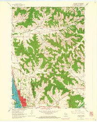
1963 · Onalaska
USGS Topo · 1:24,000
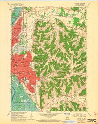
1963 · La Crosse
USGS Topo · 1:24,000