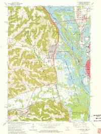
1973 Map of La Crescent
USGS Topo · Published 1976About this map
The Mississippi River dominates this mid-1970s landscape, serving as both a state boundary and a complex ecological corridor between La Crosse, Wisconsin, and the Minnesota river towns. The intricate network of the Upper Mississippi River Wild Life and Fish Refuge covers a vast portion of the eastern sheet, characterized by a labyrinth of secondary channels and backwaters like French Slough, Smith Slough, and Target Lake. This riparian system contrasts sharply with the steep bluffs to the west, where the Minnesota Memorial Hardwood State Forest blankets the rising terrain.
Find a feature on this map
60 named features on this map. Tap any name to fly to it.
Don’t see what you’re looking for? This feature index may not catch every label — zoom into the map to look around manually.
Map Details
Editions of this 1973 La Crescent Map
This is the sole edition of this map. No revisions or reprints were ever made.
Other maps of this area

1926 · Stoddard
USGS Topo · 1:62,500

1927 · La Crosse
USGS Topo · 1:62,500

1930 · La Crescent
USGS Topo · 1:62,500

1930 · La Crosse
USGS Topo · 1:62,500

1956 · Brownsville
USGS Topo · 1:62,500

1956 · La Crescent
USGS Topo · 1:62,500

1958 · La Crosse
USGS Topo · 1:250,000

1961 · La Crosse
USGS Topo · 1:250,000
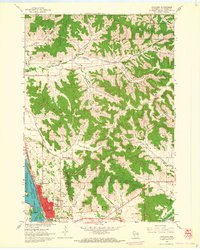
1963 · Onalaska
USGS Topo · 1:24,000
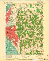
1963 · La Crosse
USGS Topo · 1:24,000