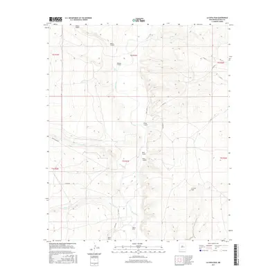
2017 Map of La Espia Peak
USGS Topo · Published 2017About this map
The Pecos River carves a central path through this De Baca County landscape, defining the hydrology and topography of a region marked by deep drainages and isolated high points. Significant elevation changes are anchored by La Espia Peak in the southeast, while the northern reaches are dominated by the broad Blanco Canyon and the smaller Wildcat Canyon. This 2017 survey reveals a network of water management and natural springs, including Salt Spring and East Tank, which are essential features in this arid environment.
Find a feature on this map
28 named features on this map. Tap any name to fly to it.
Don’t see what you’re looking for? This feature index may not catch every label — zoom into the map to look around manually.
Map Details
Editions of this 2017 La Espia Peak Map
This is the sole edition of this map. No revisions or reprints were ever made.
Other maps of this area

1954 · Fort Sumner
USGS Topo · 1:250,000

1955 · Roswell
USGS Topo · 1:250,000

1958 · Fort Sumner
USGS Topo · 1:250,000

1958 · Roswell
USGS Topo · 1:250,000

1962 · Roswell
USGS Topo · 1:250,000

1967 · Deering Place
USGS Topo · 1:24,000

1967 · Eighteenmile Hill
USGS Topo · 1:24,000

1967 · Conejo Creek West
USGS Topo · 1:24,000

1967 · Swallow Nest Canyon
USGS Topo · 1:24,000

1967 · Hernandez Lake
USGS Topo · 1:24,000