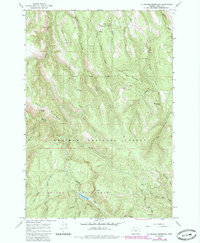
1965 Map of La Grande Reservoir
USGS Topo · Published 1985About this map
La Grande Watershed and the high country of the Whitman National Forest dominate this mid-century topographic survey in Union County. The landscape is defined by its drainage systems, featuring numerous water sources like Blue Bucket Spring and Beaver Spring, alongside the central La Grande Reservoir. Significant elevations include Elk Mountain and the prominent Beaver Ridge, which serves as a dividing line for various creek forks.
Find a feature on this map
27 named features on this map. Tap any name to fly to it.
Don’t see what you’re looking for? This feature index may not catch every label — zoom into the map to look around manually.
Map Details
Editions of this 1965 La Grande Reservoir Map
2 editions found
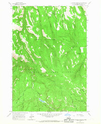
Other maps of this area

1953 · Pendleton
USGS Topo · 1:250,000

1956 · Pendleton
USGS Topo · 1:250,000

1963 · La Grande SE
USGS Topo · 1:24,000

1963 · Hilgard
USGS Topo · 1:24,000

1964 · Kamela SE
USGS Topo · 1:24,000

1965 · Limber Jim Creek
USGS Topo · 1:24,000

1965 · Anthony Butte
USGS Topo · 1:24,000
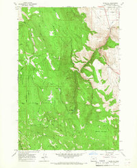
1965 · Glass Hill
USGS Topo · 1:24,000
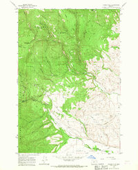
1965 · Tucker Flat
USGS Topo · 1:24,000

1965 · Little Beaver Creek
USGS Topo · 1:24,000