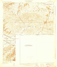
1927 Map of La Habra
USGS Topo · Published 1927About this map
The La Puente Hills dominate this late 1920s landscape, serving as a backdrop to an era of rapid transition between agricultural ranching and industrial oil extraction. Large landholdings like Murphy Ranch and Leffingwell Ranch suggest the region's citrus and farming heritage, while dense clusters of Oil Wells and the massive Standard Oil Tank Farm along Coyote Creek indicate the growing petroleum economy.
Find a feature on this map
28 named features on this map. Tap any name to fly to it.
Don’t see what you’re looking for? This feature index may not catch every label — zoom into the map to look around manually.
Map Details
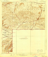
Editions of this 1927 La Habra Map
2 editions found
Other maps of this area

1894 · Los Angeles
USGS Topo · 1:62,500

1894 · Pomona
USGS Topo · 1:62,500

1896 · Pasadena
USGS Topo · 1:62,500

1896 · Anaheim
USGS Topo · 1:62,500

1896 · Downey
USGS Topo · 1:62,500

1897 · Pomona
USGS Topo · 1:62,500

1898 · Pomona
USGS Topo · 1:62,500

1898 · Anaheim
USGS Topo · 1:62,500

1899 · Downey
USGS Topo · 1:62,500

1900 · Pasadena
USGS Topo · 1:62,500