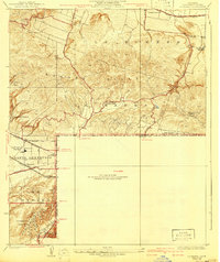
1927 Map of La Habra
USGS Topo · Published 1941About this map
The Puente Hills dominate the northern landscape of this survey, which captures the burgeoning citrus and petroleum economy along the border of Los Angeles and Orange Counties. Large-scale agricultural operations like Murphy Ranch, Leffingwell Ranch, and Grazide Ranch anchor the local geography, while the presence of scattered Oil Wells and the massive Standard Oil Tank Farm in the south illustrates the region's industrial transformation.
Find a feature on this map
30 named features on this map. Tap any name to fly to it.
Don’t see what you’re looking for? This feature index may not catch every label — zoom into the map to look around manually.
Map Details
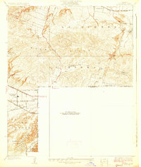
Editions of this 1927 La Habra Map
2 editions found
Other maps of this area

1894 · Los Angeles
USGS Topo · 1:62,500

1894 · Pomona
USGS Topo · 1:62,500

1896 · Pasadena
USGS Topo · 1:62,500

1896 · Anaheim
USGS Topo · 1:62,500

1896 · Downey
USGS Topo · 1:62,500

1897 · Pomona
USGS Topo · 1:62,500

1898 · Pomona
USGS Topo · 1:62,500

1898 · Anaheim
USGS Topo · 1:62,500

1899 · Downey
USGS Topo · 1:62,500

1900 · Pasadena
USGS Topo · 1:62,500