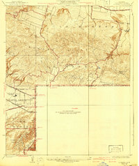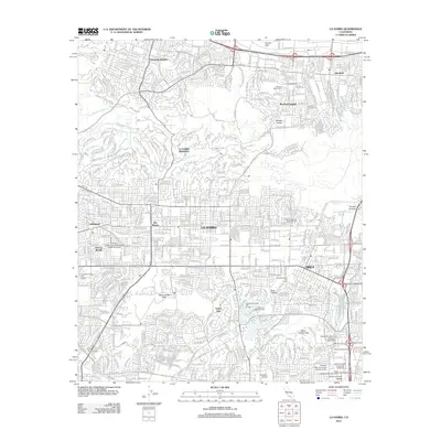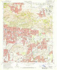
1964 Map of La Habra
USGS Topo · Published 1969About this map
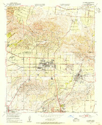
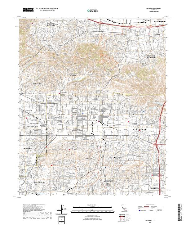
The Puente Hills dominate the northern landscape of this mid-1960s survey, marking a distinct boundary between the expanding suburban developments of Hacienda Heights and the active Oil Fields that once defined the regional economy. The map illustrates a transitional era where traditional citrus groves and oil derricks are increasingly replaced by planned neighborhoods and commercial centers like the Shopping Center at the intersection of Imperial Highway. This shift is evident in the dense concentration of educational facilities such as La Habra High Sch and Rowland High Sch.
Find a feature on this map
101 named features on this map. Tap any name to fly to it.
Don’t see what you’re looking for? This feature index may not catch every label — zoom into the map to look around manually.
Map Details
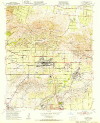
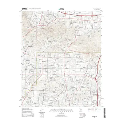
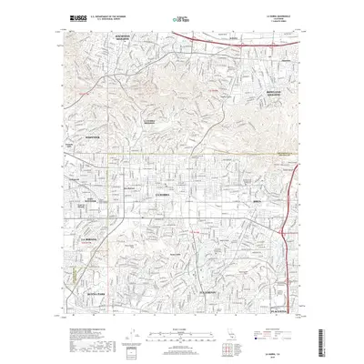
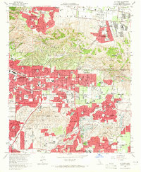
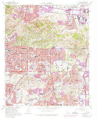
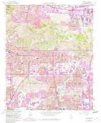
Editions of this 1964 La Habra Map
4 editions found
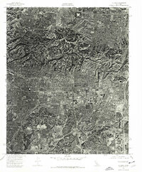
Historical Maps of Fullerton Through Time
9 maps found