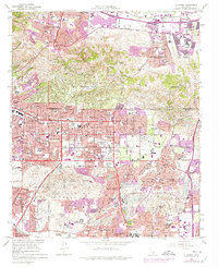
1964 Map of La Habra
USGS Topo · Published 1975About this map
The Puente Hills and La Habra Hills dominate the northern landscape of this mid-century survey, illustrating the rapid suburbanization of the Los Angeles and Orange County border. Significant industrial activity is represented by the Brea-Olinda Oil Field, while the southern half of the map reveals a dense network of residential streets and community infrastructure serving La Habra, Fullerton, and Brea. Extensive school construction, such as La Serna High Sch and Lowell High Sch, reflects the population boom of the era.
Find a feature on this map
111 named features on this map. Tap any name to fly to it.
Don’t see what you’re looking for? This feature index may not catch every label — zoom into the map to look around manually.
Map Details
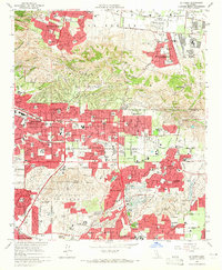
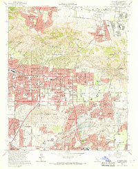
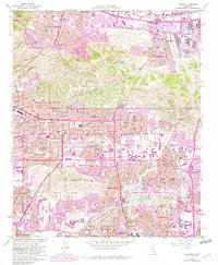
Editions of this 1964 La Habra Map
4 editions found
Other maps of this area

1894 · Los Angeles
USGS Topo · 1:62,500

1894 · Pomona
USGS Topo · 1:62,500

1896 · Pasadena
USGS Topo · 1:62,500

1896 · Anaheim
USGS Topo · 1:62,500

1896 · Downey
USGS Topo · 1:62,500

1897 · Pomona
USGS Topo · 1:62,500

1898 · Pomona
USGS Topo · 1:62,500

1898 · Anaheim
USGS Topo · 1:62,500

1899 · Downey
USGS Topo · 1:62,500

1900 · Pasadena
USGS Topo · 1:62,500