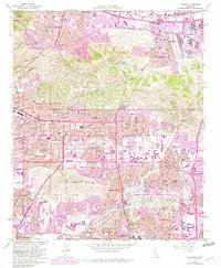
1964 Map of La Habra
USGS Topo · Published 1982About this map
The Puente Hills and La Habra Hills dominate the center of this landscape, acting as a natural divide between the burgeoning residential developments of the Los Angeles Basin and the industrial corridors of the San Gabriel Valley. During the early 1960s and into the 1980s revision, this area transitioned from agricultural and petroleum-producing land into a dense suburban sprawl. Significant petroleum infrastructure remains visible in the Brea-Olinda Oil Field and Whittier Oil Field, reflecting the region's deep ties to the California oil boom.
Find a feature on this map
75 named features on this map. Tap any name to fly to it.
Don’t see what you’re looking for? This feature index may not catch every label — zoom into the map to look around manually.
Map Details
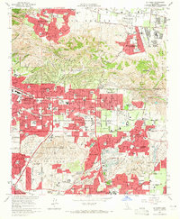
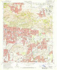
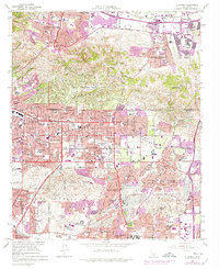
Editions of this 1964 La Habra Map
4 editions found
Other maps of this area

1894 · Los Angeles
USGS Topo · 1:62,500

1894 · Pomona
USGS Topo · 1:62,500

1896 · Pasadena
USGS Topo · 1:62,500

1896 · Anaheim
USGS Topo · 1:62,500

1896 · Downey
USGS Topo · 1:62,500

1897 · Pomona
USGS Topo · 1:62,500

1898 · Pomona
USGS Topo · 1:62,500

1898 · Anaheim
USGS Topo · 1:62,500

1899 · Downey
USGS Topo · 1:62,500

1900 · Pasadena
USGS Topo · 1:62,500