
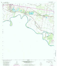
1963 Map of La Joya
USGS Topo · Published 1965About this map
The Rio Grande carves a dramatic, winding border along the southern edge of this mid-century survey, defining the agrarian and industrial landscape of Hidalgo County. The river's historical shifts are marked by several bancos, including Caballero Banco No 97 and La Parida Banco No 144, which sit alongside the lush acreage of Bentsen Rio Grande Valley State Park. Inland, the settlement pattern follows the Missouri Pacific railroad line, connecting small communities like La Joya, Penitas, and Perezville.
Find a feature on this map
34 named features on this map. Tap any name to fly to it.
Don’t see what you’re looking for? This feature index may not catch every label — zoom into the map to look around manually.
Map Details
Editions of this 1963 La Joya Map
2 editions found
Other maps of this area

1940 · Monte Christo
USGS Topo · 1:62,500

1949 · Mc Allen
USGS Topo · 1:250,000

1954 · McAllen
USGS Topo · 1:250,000

1956 · Garcias
USGS Topo · 1:62,500

1956 · Los Ebanos
USGS Topo · 1:62,500

1957 · Mc Allen
USGS Topo · 1:250,000

1962 · McAllen
USGS Topo · 1:250,000

1963 · Citrus City
USGS Topo · 1:24,000
1963 · Alton
USGS Topo · 1:24,000
1963 · Hidalgo
USGS Topo · 1:24,000