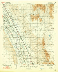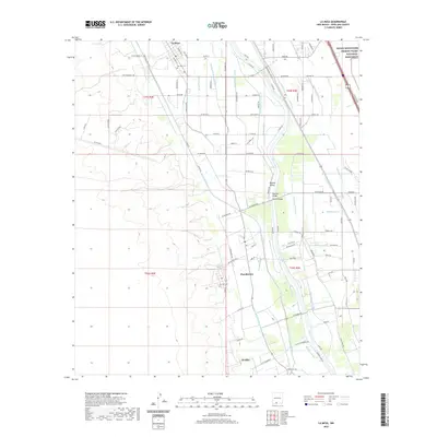
1955 Map of La Mesa
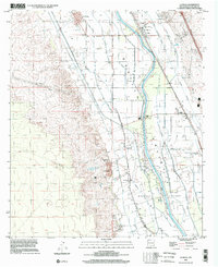
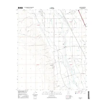
USGS Topo · Published 1979About this map
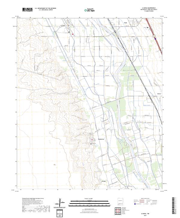
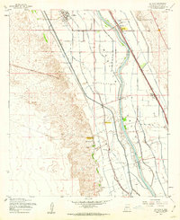
The Rio Grande corridor defines the landscape of the Mesilla Valley, where an intricate network of irrigation ditches and drains supports the agricultural settlements of southern New Mexico. This mid-century survey captures a complex hydraulic system including the Chamberino Main Lateral, La Mesa Drain, and La Union Main Canal, all critical to the valley's productivity. The maps reveals two distinct eras of local settlement at Chamberino (Old Town) and its later namesake to the east, while the Refugio Colony occupies the river’s eastern bank. Local community life is anchored by several rural institutions such as the Dunbar Sch, Valley Grove Ch, and New Hope Ch. Industrial transport is represented by the Atchison Topeka and Santa Fe railroad, which parallels the river and serves the Berino Siding.
Find a feature on this map
46 named features on this map. Tap any name to fly to it.
Don’t see what you’re looking for? This feature index may not catch every label — zoom into the map to look around manually.
Map Details
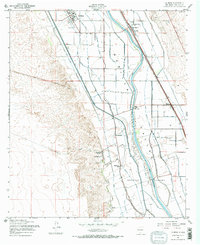
Editions of this 1955 La Mesa Map
2 editions found
Historical Maps of El Ojito Through Time
8 maps found