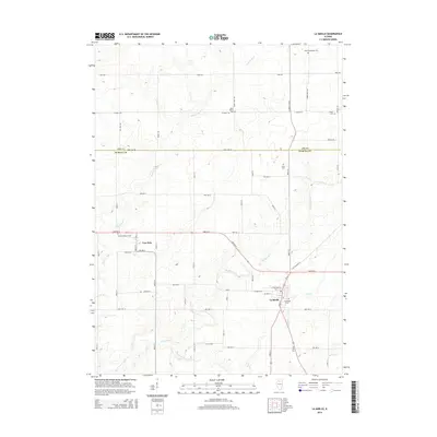
2015 Map of La Moille
USGS Topo · Published 2015About this map
The agricultural divide between Lee Co and Bureau Co defines this Illinois prairie landscape, where straight section-line roads bisect fertile farmland. La Moille serves as the primary hub, anchored by local landmarks such as Greenfield Cem and the historic path of Old Chicago Rd. To the northwest, the small settlement of Van Orin sits near the Van Orin Repose Cem, highlighting the area's deep-rooted family history. The terrain is marked by the winding courses of Big Bureau Creek, Pike Cr, and Masters Fork, which cut through the otherwise level elevation. Numerous family and community burial grounds, including Baird-Pumphrey Cem, Theiss Cem, and Saint Mary's Cem, are scattered across the township, offering a clear view of the early rural settlement patterns that still shape this region today.
Find a feature on this map
35 named features on this map. Tap any name to fly to it.
Don’t see what you’re looking for? This feature index may not catch every label — zoom into the map to look around manually.
Map Details
Editions of this 2015 La Moille Map
This is the sole edition of this map. No revisions or reprints were ever made.
Other maps of this area

1893 · Hennepin
USGS Topo · 1:62,500

1893 · Lasalle
USGS Topo · 1:62,500

1909 · Hennepin
USGS Topo · 1:62,500

1911 · La Salle
USGS Topo · 1:62,500

1911 · Hennepin
USGS Topo · 1:62,500

1913 · La Salle
USGS Topo · 1:62,500

1947 · La Salle
USGS Topo · 1:62,500

1951 · Amboy
USGS Topo · 1:62,500

1952 · Mendota
USGS Topo · 1:62,500

1958 · Aurora
USGS Topo · 1:250,000