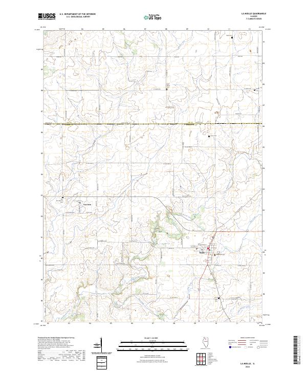
2024 Map of La Moille
USGS Topo · Published 2024About this map
La Moille and Van Orin anchor this topographical study of north-central Illinois, situated right along the border of Lee Co and Bureau Co. The landscape is defined by the dendritic drainage patterns of Big Bureau Creek and its tributaries, including Pike Creek and Masters Fork. For genealogists, the map is particularly useful as it precisely locates numerous rural burial sites like Van Orin Repose Cem, Saint Marys Cem, and Greenfield Cem, which are scattered throughout the agricultural sections. The local transport network is a mix of modern county highways and legacy routes like Old Chicago Rd. The transition between the prairie uplands and the creek valleys is clearly visible through the detailed contour work, illustrating the geographic character of this farming region.
Find a feature on this map
61 named features on this map. Tap any name to fly to it.
Don’t see what you’re looking for? This feature index may not catch every label — zoom into the map to look around manually.
Map Details
Editions of this 2024 La Moille Map
This is the sole edition of this map. No revisions or reprints were ever made.
Other maps of this area

1893 · Hennepin
USGS Topo · 1:62,500

1893 · Lasalle
USGS Topo · 1:62,500

1909 · Hennepin
USGS Topo · 1:62,500

1911 · La Salle
USGS Topo · 1:62,500

1911 · Hennepin
USGS Topo · 1:62,500

1913 · La Salle
USGS Topo · 1:62,500

1947 · La Salle
USGS Topo · 1:62,500

1951 · Amboy
USGS Topo · 1:62,500

1952 · Mendota
USGS Topo · 1:62,500

1958 · Aurora
USGS Topo · 1:250,000