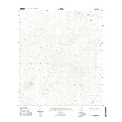
2016 Map of La Mota Mountain
USGS Topo · Published 2016About this map
La Mota Mountain dominates this remote corner of Presidio County, anchoring a landscape of high desert landforms and seasonal drainages. The area is defined by the high, flat expanse of Tascotal Mesa to the north and the jagged descent into Lava Canyon to the southwest. Water sources, vital for cattle ranching and survival in this arid environment, are sparsely distributed but clearly identified at Alazan Spring, which sits at the base of the Alazan Hills. The map traces the historical movement through this terrain via the Papalote Encino Trail, a route that likely follows traditional paths between natural water and higher ground. The complex hydrology of the region is evident in the meandering courses of Terneros Creek and Navajo Cr, which carve through deep features like Old Ranch Canyon. Small-scale transport is represented by the presence of Sauledo Rd, showing how modern access interacts with traditional desert trails.
Find a feature on this map
11 named features on this map. Tap any name to fly to it.
Don’t see what you’re looking for? This feature index may not catch every label — zoom into the map to look around manually.
Map Details
Editions of this 2016 La Mota Mountain Map
This is the sole edition of this map. No revisions or reprints were ever made.
Other maps of this area

1896 · Polvo
USGS Topo · 1:125,000

1896 · Shafter
USGS Topo · 1:125,000

1903 · Terlingua
USGS Topo · 1:125,000

1904 · Terlingua
USGS Topo · 1:125,000

1917 · Tascotal Mesa
USGS Topo · 1:62,500

1931 · Lajitas
USGS Topo · 1:62,500

1944 · Tascotal Mesa
USGS Topo · 1:62,500

1959 · Emory Peak
USGS Topo · 1:250,000

1959 · Presidio
USGS Topo · 1:250,000

1965 · Presidio
USGS Topo · 1:250,000