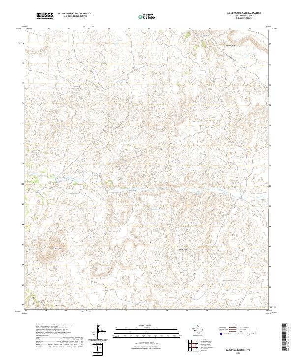
2022 Map of La Mota Mountain
USGS Topo · Published 2022About this map
La Mota Mtn and the surrounding Alazan Hills anchor this topographic study of Presidio County, where the high desert landscape is defined by drainage patterns and distinct plateaus. The north is dominated by the expansive Tascotal Mesa, which gives way to the deep cut of Old Ranch Canyon. Water management and movement are central to this area's geography, evidenced by the central path of Terneros Creek and the presence of Alazan Spring. Historical movement through this part of the Big Bend region is traced via remote routes like the Upper Leyva Trl and Encino Trl, which navigate the complex elevations between Lava Canyon and the higher ranching grounds. The map provides a detailed view of the infrastructure supporting this remote landscape, from Saucedo Rd to the various ephemeral drainages like Navajo Cr.
Find a feature on this map
12 named features on this map. Tap any name to fly to it.
Don’t see what you’re looking for? This feature index may not catch every label — zoom into the map to look around manually.
Map Details
Editions of this 2022 La Mota Mountain Map
This is the sole edition of this map. No revisions or reprints were ever made.
Other maps of this area

1896 · Polvo
USGS Topo · 1:125,000

1896 · Shafter
USGS Topo · 1:125,000

1903 · Terlingua
USGS Topo · 1:125,000

1904 · Terlingua
USGS Topo · 1:125,000

1917 · Tascotal Mesa
USGS Topo · 1:62,500

1931 · Lajitas
USGS Topo · 1:62,500

1944 · Tascotal Mesa
USGS Topo · 1:62,500

1959 · Emory Peak
USGS Topo · 1:250,000

1959 · Presidio
USGS Topo · 1:250,000

1965 · Presidio
USGS Topo · 1:250,000