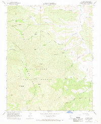
1967 Map of La Panza
USGS Topo · Published 1968About this map
La Panza sits at the northern edge of this high-country landscape, where the rugged topography of the La Panza Range meets the drainage of San Juan Creek. This 1967 field-checked survey reveals a remote network of trails and springs critical to life in the Los Padres National Forest. The presence of named locations such as Saylors Cabin, Martinez Place, and Todd Place suggests a history of seasonal habitation and ranching outposts tucked into the steep canyons.
Find a feature on this map
40 named features on this map. Tap any name to fly to it.
Don’t see what you’re looking for? This feature index may not catch every label — zoom into the map to look around manually.
Map Details
Editions of this 1967 La Panza Map
2 editions found
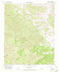
Other maps of this area

1922 · Pozo
USGS Topo · 1:62,500

1922 · Nipomo
USGS Topo · 1:62,500

1932 · La Panza
USGS Topo · 1:48,000

1935 · La Panza
USGS Topo · 1:62,500

1936 · La Panza
USGS Topo · 1:62,500

1937 · Branch Mtn
USGS Topo · 1:48,000

1942 · Branch Mountain
USGS Topo · 1:62,500

1947 · San Luis Obispo
USGS Topo · 1:250,000

1948 · San Luis Obispo
USGS Topo · 1:250,000
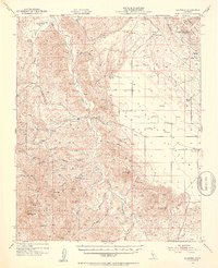
1952 · La Panza
USGS Topo · 1:62,500