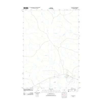
2021 Map of La Plant
USGS Topo · Published 2021About this map
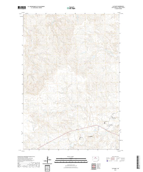
La Plant serves as the focal point of this Dewey County landscape, situated amidst a complex network of prairie drainage. The map reveals a cluster of burial grounds and spiritual sites near the settlement, including Saint Pauls Episcopal Cem, Saint Marys Catholic Cem, and Congregational Cem, which point to the established community structure of the region. Further west, the presence of Rushs Enemy Cem adds another layer of local history to the terrain. The topography is defined by the winding paths of several creeks, such as Blue Beaver Cr, Left Hand Bear Cr, and Virgin Cr, which carve into the plains. Transport in the area is anchored by LaPlant Rd, connecting these distinct sites across the township lines of T14N and T15N.
Find a feature on this map
17 named features on this map. Tap any name to fly to it.
Don’t see what you’re looking for? This feature index may not catch every label — zoom into the map to look around manually.
Map Details
Editions of this 2021 La Plant Map
This is the sole edition of this map. No revisions or reprints were ever made.
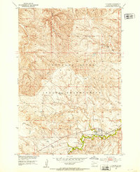
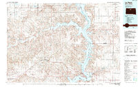
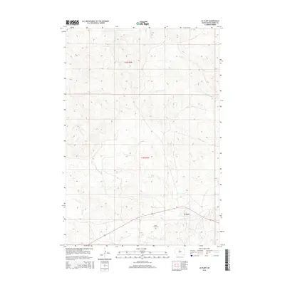
Historical Maps of La Plant Through Time
6 maps found