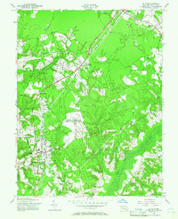
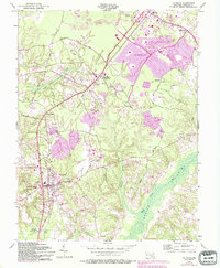
1956 Map of La Plata
USGS Topo · Published 1966About this map
The town of La Plata and the northern hub of Waldorf anchor this mid-century survey of Charles County. The landscape is defined by the convergence of rail and road infrastructure, where the Pennsylvania railroad line runs parallel to the Grain Highway, connecting smaller settlements like Beantown and White Plains. A significant portion of the central terrain is occupied by the U.S. Military Reservation Army Radio Receiving Station, illustrating the strategic importance of this region during the Cold War era.
Find a feature on this map
37 named features on this map. Tap any name to fly to it.
Don’t see what you’re looking for? This feature index may not catch every label — zoom into the map to look around manually.
Map Details
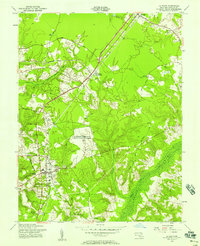
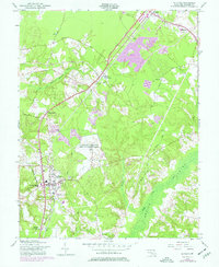
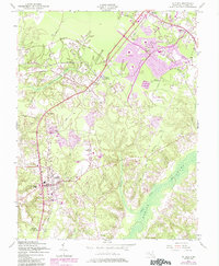
Editions of this 1956 La Plata Map
5 editions found
Other maps of this area

1889 · Fredericksburg
USGS Topo · 1:125,000

1890 · Mt. Vernon
USGS Topo · 1:125,000

1891 · Mt. Vernon
USGS Topo · 1:125,000

1892 · Fredericksburg
USGS Topo · 1:125,000

1892 · Brandywine
USGS Topo · 1:62,500

1894 · Wicomico
USGS Topo · 1:62,500

1894 · Fredericksburg
USGS Topo · 1:125,000

1894 · Mt. Vernon
USGS Topo · 1:125,000

1895 · Wicomico
USGS Topo · 1:62,500

1895 · Brandywine
USGS Topo · 1:62,500