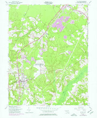
1956 Map of La Plata
USGS Topo · Published 1977About this map
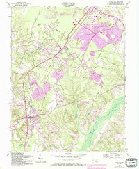
La Plata and Waldorf anchor this 1956 mid-century survey of Charles County, with purple overprints from 1974 showing the rapid suburban expansion of St Charles and the surrounding area. The landscape is defined by the winding course of the Zekiah Swamp Run and Port Tobacco Swamp Creek, which contrast with the straightened industrial presence of the Pennsylvania Railroad and the Crain Highway. Significant land use is marked by the expansive U.S. Military Reservation Army Radio Receiving Station in the center of the sheet. Genealogists will find many family and local landmarks, including the Mt Rest Cem, Sacred Heart Cem, and Piney Ch. The map captures a moment when rural junctions like White Plains and Springhill were beginning to transition from quiet rail stops into modern residential corridors.
Find a feature on this map
38 named features on this map. Tap any name to fly to it.
Don’t see what you’re looking for? This feature index may not catch every label — zoom into the map to look around manually.
Map Details
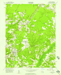
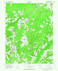
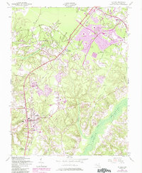
Editions of this 1956 La Plata Map
5 editions found
Other maps of this area

1889 · Fredericksburg
USGS Topo · 1:125,000

1890 · Mt. Vernon
USGS Topo · 1:125,000

1891 · Mt. Vernon
USGS Topo · 1:125,000

1892 · Fredericksburg
USGS Topo · 1:125,000

1892 · Brandywine
USGS Topo · 1:62,500

1894 · Wicomico
USGS Topo · 1:62,500

1894 · Fredericksburg
USGS Topo · 1:125,000

1894 · Mt. Vernon
USGS Topo · 1:125,000

1895 · Wicomico
USGS Topo · 1:62,500

1895 · Brandywine
USGS Topo · 1:62,500