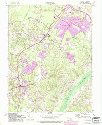
1956 Map of La Plata
USGS Topo · Published 1993About this map
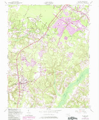
La Plata serves as the focal point for this Charles County landscape, showing the town's early footprint centered on the Courthouse and the intersection of the Pennsylvania Railroad. The map reveals a transition from traditional rural crossroad communities like Beantown and White Plains toward the emerging suburban expansion in St Charles and Waldorf. Notable local institutions are well-documented, including the Archbishop Neale Sch and Sacred Heart church, alongside local burial sites such as Mt Rest Cem.
Find a feature on this map
41 named features on this map. Tap any name to fly to it.
Don’t see what you’re looking for? This feature index may not catch every label — zoom into the map to look around manually.
Map Details
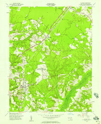
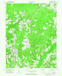
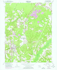
Editions of this 1956 La Plata Map
5 editions found
Other maps of this area

1889 · Fredericksburg
USGS Topo · 1:125,000

1890 · Mt. Vernon
USGS Topo · 1:125,000

1891 · Mt. Vernon
USGS Topo · 1:125,000

1892 · Fredericksburg
USGS Topo · 1:125,000

1892 · Brandywine
USGS Topo · 1:62,500

1894 · Wicomico
USGS Topo · 1:62,500

1894 · Fredericksburg
USGS Topo · 1:125,000

1894 · Mt. Vernon
USGS Topo · 1:125,000

1895 · Wicomico
USGS Topo · 1:62,500

1895 · Brandywine
USGS Topo · 1:62,500