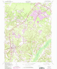
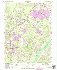
1956 Map of La Plata
USGS Topo · Published 1985About this map
The town of La Plata serves as a central hub on this Maryland coastal plain survey, showing the community just as post-war suburban expansion began to take shape. The map highlights a landscape in transition, where established rural settlements like Beantown and Newtown sit alongside the emerging footprints of St Charles and Waldorf. Notable local landmarks include the Archbishop Neale Sch and Sacred Heart church, while the Mt Rest Cem provides a point of interest for those tracing family history in the county seat.
Find a feature on this map
37 named features on this map. Tap any name to fly to it.
Don’t see what you’re looking for? This feature index may not catch every label — zoom into the map to look around manually.
Map Details
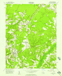
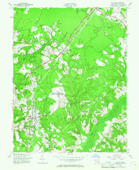
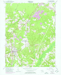
Editions of this 1956 La Plata Map
5 editions found
Other maps of this area

1889 · Fredericksburg
USGS Topo · 1:125,000

1890 · Mt. Vernon
USGS Topo · 1:125,000

1891 · Mt. Vernon
USGS Topo · 1:125,000

1892 · Fredericksburg
USGS Topo · 1:125,000

1892 · Brandywine
USGS Topo · 1:62,500

1894 · Wicomico
USGS Topo · 1:62,500

1894 · Fredericksburg
USGS Topo · 1:125,000

1894 · Mt. Vernon
USGS Topo · 1:125,000

1895 · Wicomico
USGS Topo · 1:62,500

1895 · Brandywine
USGS Topo · 1:62,500