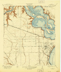
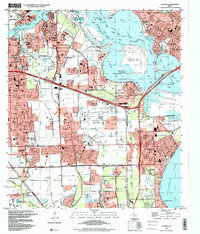
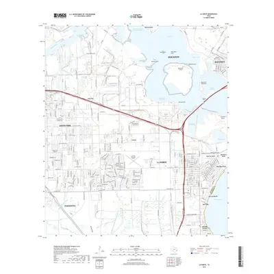
1920 Map of La Porte
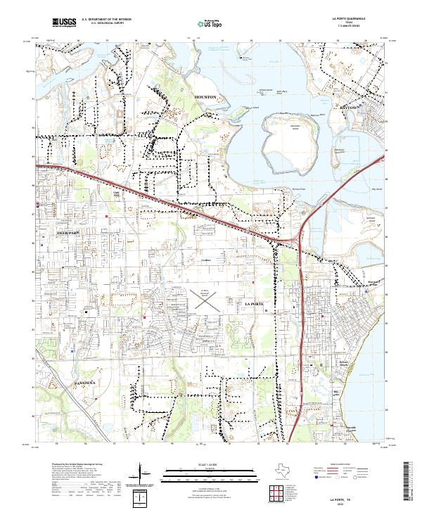
USGS Topo · Published 1944About this map
San Jacinto State Park and the historic Battle Grounds Road anchor the northern reaches of this coastal survey, where Buffalo Bayou meets the expanding Houston Ship Channel. The landscape is a complex network of waterways, from the broad San Jacinto Bay to the marshy outlets of Big Island Slough and Willow Gully. Early 20th-century development is visible through the Southern Pacific System and the Galveston Harrisburg and San Antonio RR, which facilitated both industrial growth and coastal recreation.
Find a feature on this map
39 named features on this map. Tap any name to fly to it.
Don’t see what you’re looking for? This feature index may not catch every label — zoom into the map to look around manually.
Map Details
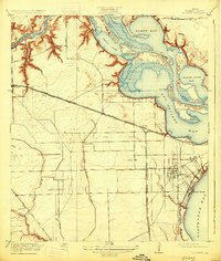
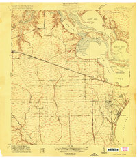
Editions of this 1920 La Porte Map
3 editions found
Historical Maps of Houston Through Time
12 maps found
1916 La Porte
Harris County, TX
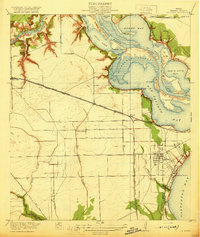
1920 La Porte
Harris County, TX
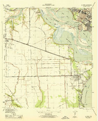
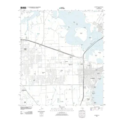
1944 La Porte
Harris County, TX
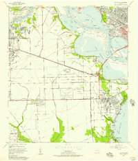
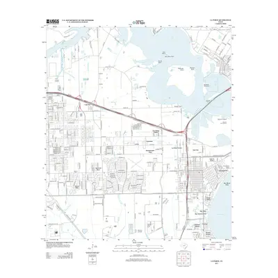
1955 La Porte
Harris County, TX
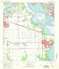
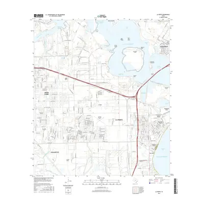
1967 La Porte
Harris County, TX
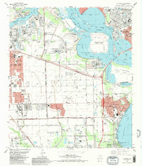
1982 La Porte
Harris County, TX
1995 La Porte
Harris County, TX
2010 La Porte
Harris County, TX
2013 La Porte
Harris County, TX
2016 La Porte
Harris County, TX
2019 La Porte
Harris County, TX
2022 La Porte
Harris County, TX