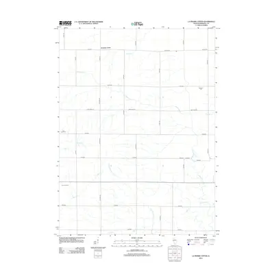
2012 Map of La Prairie Center
USGS Topo · Published 2012About this map
Saratoga Center serves as the focal point for this agrarian landscape in northern Illinois, where the grid-like road system is defined by names like Western Rd and La Prairie Rd. The terrain is etched by a dense network of watercourses, including Senachwine Cr and Little Senachwine Cr, which navigate the rectangular parceling of the land. This 2012 survey illustrates a region where local heritage is preserved in small landmarks such as Saint Patrick Cem and Mansfield Cem. Notable local enterprise is visible at Tanner's Orchard, while various creeks like Mud Run and Scholes Br underscore the importance of drainage and irrigation for the surrounding Marshall County farms.
Find a feature on this map
32 named features on this map. Tap any name to fly to it.
Don’t see what you’re looking for? This feature index may not catch every label — zoom into the map to look around manually.
Map Details
Editions of this 2012 La Prairie Center Map
This is the sole edition of this map. No revisions or reprints were ever made.
Other maps of this area

1893 · Lacon
USGS Topo · 1:62,500

1893 · Metamora
USGS Topo · 1:62,500

1893 · Dunlap
USGS Topo · 1:62,500

1898 · Dunlap
USGS Topo · 1:62,500

1932 · Dunlap
USGS Topo · 1:62,500

1933 · Dunlap
USGS Topo · 1:62,500

1933 · Lacon
USGS Topo · 1:62,500

1933 · Camp Grove
USGS Topo · 1:48,000

1937 · Metamora
USGS Topo · 1:62,500

1937 · Dunlap
USGS Topo · 1:62,500