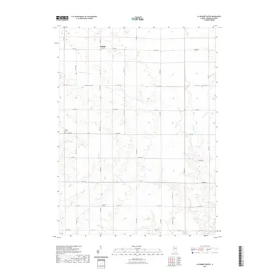
2021 Map of La Prairie Center
USGS Topo · Published 2021About this map
Saratoga Center and La Prairie Center anchor this agricultural landscape in Marshall County, where the topography is defined by the intricate drainage systems of the Illinois River basin. Numerous waterways, including Senachwine Cr and its tributary Little Senachwine Cr, have carved significant valleys through the prairie, creating a dissected terrain that contrasts with the surrounding flatland. This 2021 survey reveals a persistent rural grid established by roads like Western Rd and Yankee Ln, which continue to define property boundaries and travel patterns as they have for generations.
Find a feature on this map
35 named features on this map. Tap any name to fly to it.
Don’t see what you’re looking for? This feature index may not catch every label — zoom into the map to look around manually.
Map Details
Editions of this 2021 La Prairie Center Map
This is the sole edition of this map. No revisions or reprints were ever made.
Other maps of this area

1893 · Lacon
USGS Topo · 1:62,500

1893 · Metamora
USGS Topo · 1:62,500

1893 · Dunlap
USGS Topo · 1:62,500

1898 · Dunlap
USGS Topo · 1:62,500

1932 · Dunlap
USGS Topo · 1:62,500

1933 · Dunlap
USGS Topo · 1:62,500

1933 · Lacon
USGS Topo · 1:62,500

1933 · Camp Grove
USGS Topo · 1:48,000

1937 · Metamora
USGS Topo · 1:62,500

1937 · Dunlap
USGS Topo · 1:62,500