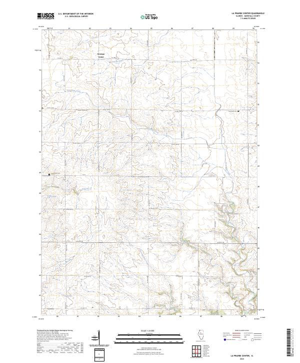
2024 Map of La Prairie Center
USGS Topo · Published 2024About this map
Saratoga Center serves as a primary local focal point within this modern survey of Marshall County. The landscape is defined by an intricate network of waterways, with Senachwine Creek and its many tributaries, including Little Senachwine Creek, Scholes Branch, and Thenius Creek, carving through the Illinois prairie. The distribution of Mansfield Cem and Saint Patrick Cem reflects the long-standing community roots in the area. This contemporary 2024 data highlights how the grid of local roads, such as La Prairie Center Rd and Western Rd, continues to follow the historic township and range lines, a hallmark of the Midwestern agricultural landscape that has persisted for generations. The inclusion of smaller water features like Camp Run and Mud Run provides granular detail for local environmental study.
Find a feature on this map
34 named features on this map. Tap any name to fly to it.
Don’t see what you’re looking for? This feature index may not catch every label — zoom into the map to look around manually.
Map Details
Editions of this 2024 La Prairie Center Map
This is the sole edition of this map. No revisions or reprints were ever made.
Other maps of this area

1893 · Lacon
USGS Topo · 1:62,500

1893 · Metamora
USGS Topo · 1:62,500

1893 · Dunlap
USGS Topo · 1:62,500

1898 · Dunlap
USGS Topo · 1:62,500

1932 · Dunlap
USGS Topo · 1:62,500

1933 · Dunlap
USGS Topo · 1:62,500

1933 · Lacon
USGS Topo · 1:62,500

1933 · Camp Grove
USGS Topo · 1:48,000

1937 · Metamora
USGS Topo · 1:62,500

1937 · Dunlap
USGS Topo · 1:62,500