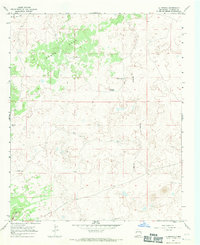
1967 Map of La Rendija
USGS Topo · Published 1971About this map
Monte Seco and the drainage of La Rendija define this arid landscape in west-central New Mexico during the late 1960s. The map illustrates a high-desert environment where water management was central to local survival and livestock management, as seen in the distribution of improvements like Laguna Macho, Tanque Pendejo, and Montoso Tank. Small-scale ranching and land use are evident through named sites such as The Vega in the northwest, near the Indian Reservation Boundary, and isolated dwellings or stations like Julian Place and Luis Well. The terrain is characterized by complex topography, including the elevated profile of Cerro Gatos. This survey captures the rural character of the region before significant modern development, emphasizing the relationship between limited water resources and the sparse settlements that relied upon them.
Find a feature on this map
11 named features on this map. Tap any name to fly to it.
Don’t see what you’re looking for? This feature index may not catch every label — zoom into the map to look around manually.
Map Details
Editions of this 1967 La Rendija Map
2 editions found
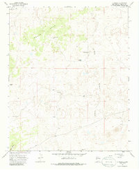
Other maps of this area

1954 · Saint Johns
USGS Topo · 1:250,000

1957 · Saint Johns
USGS Topo · 1:250,000

1958 · Saint Johns
USGS Topo · 1:250,000

1962 · Saint Johns
USGS Topo · 1:250,000
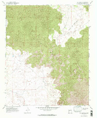
1967 · Ice Caves SE
USGS Topo · 1:24,000
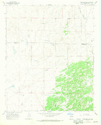
1967 · York Ranch SE
USGS Topo · 1:24,000
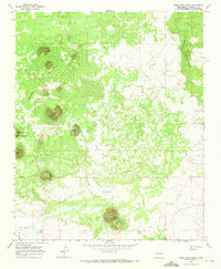
1967 · Cerro Brillante
USGS Topo · 1:24,000

1967 · Cerro Alto
USGS Topo · 1:24,000
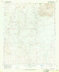
1967 · York Ranch
USGS Topo · 1:24,000

1967 · Veteado Mountain
USGS Topo · 1:24,000