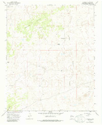
1967 Map of La Rendija
USGS Topo · Published 1986About this map
Monte Seco dominates the northern reaches of this high-desert terrain, a landscape characterized by the sparse but essential presence of water sources in a ranching environment. Recorded in the late 1960s, the map reveals a network of isolated outposts such as Julian Place and Luis Well, which point to a history of rugged land use and seasonal habitation. The topography is defined by the winding course of La Rendija and the heights of Cerro Gatos in the southwest corner. Local water management is evident through numerous tanks and ponds, including Laguna Macho, Tanque Pendejo, and Montoso Tank, which were vital for livestock survival in this arid stretch of New Mexico. The mapping of The Vega in the northwest corner further highlights the variations in vegetation and terrain that dictated the movement of both people and animals across this high-altitude range.
Find a feature on this map
10 named features on this map. Tap any name to fly to it.
Don’t see what you’re looking for? This feature index may not catch every label — zoom into the map to look around manually.
Map Details
Editions of this 1967 La Rendija Map
2 editions found
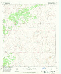
Other maps of this area

1954 · Saint Johns
USGS Topo · 1:250,000

1957 · Saint Johns
USGS Topo · 1:250,000

1958 · Saint Johns
USGS Topo · 1:250,000

1962 · Saint Johns
USGS Topo · 1:250,000
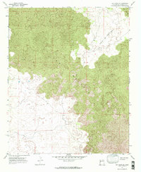
1967 · Ice Caves SE
USGS Topo · 1:24,000
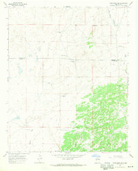
1967 · York Ranch SE
USGS Topo · 1:24,000
1967 · Cerro Brillante
USGS Topo · 1:24,000

1967 · Cerro Alto
USGS Topo · 1:24,000
1967 · York Ranch
USGS Topo · 1:24,000

1967 · Veteado Mountain
USGS Topo · 1:24,000