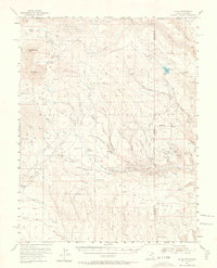
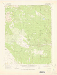
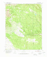
1954 Map of La Sal
USGS Topo · Published 1964About this map
Mt Peale and Mt Mellenthin anchor the high elevations of the Manti-La Sal National Forest, overlooking a landscape defined by deep drainages and intense mining activity during the mid-century uranium boom. The map reveals a dense network of claims concentrated east of the Utah Colorado Boundary Line, where sites like the Vanadium Queen Mine, Uranium Girl Mine, and Yellow Bird Mines reflect the era's prospecting fever.
Find a feature on this map
81 named features on this map. Tap any name to fly to it.
Don’t see what you’re looking for? This feature index may not catch every label — zoom into the map to look around manually.
Map Details
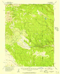
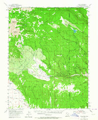
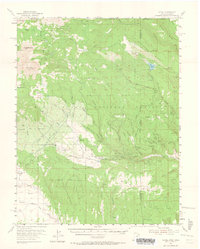
Editions of this 1954 La Sal Map
6 editions found
Other maps of this area

1885 · La Sal
USGS Topo · 1:250,000

1916 · Paradox Valley
USGS Topo · 1:125,000

1922 · Paradox Valley
USGS Topo · 1:125,000

1948 · Roc Creek
USGS Topo · 1:24,000

1948 · Paradox
USGS Topo · 1:24,000

1949 · Paradox
USGS Topo · 1:24,000

1949 · Roc Creek
USGS Topo · 1:24,000

1949 · Juanita Arch
USGS Topo · 1:24,000
1949 · Anderson Mesa
USGS Topo · 1:24,000

1950 · Juanita Arch
USGS Topo · 1:24,000