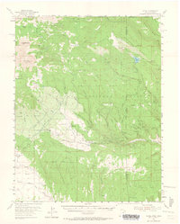
1954 Map of La Sal
USGS Topo · Published 1964About this map
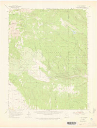
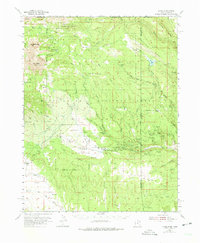
High peaks and uranium claims define this mid-century survey of the Utah-Colorado borderlands. The landscape is dominated by the massive summits of the Manti-La Sal National Forest, including Mt Mellenthin and Mt Peale. While the western slopes center on the settlement of La Sal and the La Sal Guard Sta, the eastern portion reveals an intensive period of mineral exploration. A dense cluster of claims including the Vanadium Queen Mine, Uranium Girl Mine, and Grey Dawn Mine highlights the Cold War era's atomic industry. Transitioning from the high alpine of Dark Canyon to the peculiar geology of the Sinbad Valley, the map details a network of jeep trails and ditches necessary for ranching at Pine Lodge Ranch and Old La Sal. This record captures the precise moment when traditional high-country grazing met the industrial surge of the 1950s mining boom.
Find a feature on this map
81 named features on this map. Tap any name to fly to it.
Don’t see what you’re looking for? This feature index may not catch every label — zoom into the map to look around manually.
Map Details
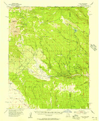
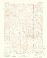
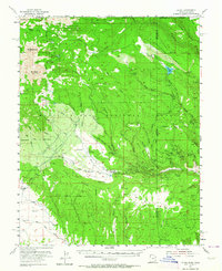
Editions of this 1954 La Sal Map
6 editions found
Other maps of this area

1885 · La Sal
USGS Topo · 1:250,000

1916 · Paradox Valley
USGS Topo · 1:125,000

1922 · Paradox Valley
USGS Topo · 1:125,000

1948 · Roc Creek
USGS Topo · 1:24,000

1948 · Paradox
USGS Topo · 1:24,000

1949 · Paradox
USGS Topo · 1:24,000

1949 · Roc Creek
USGS Topo · 1:24,000

1949 · Juanita Arch
USGS Topo · 1:24,000
1949 · Anderson Mesa
USGS Topo · 1:24,000

1950 · Juanita Arch
USGS Topo · 1:24,000