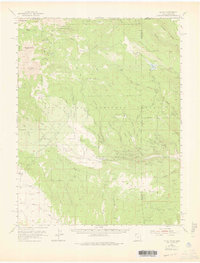
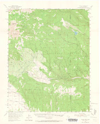
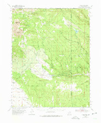
1954 Map of La Sal
USGS Topo · Published 1975About this map
The high peaks and deep canyons of the Manti-La Sal National Forest dominate this mid-century survey, spanning the rugged borderlands of San Juan and Grand counties in Utah and Montrose County, Colorado. The landscape is defined by the massive silhouettes of Mt Peale and Mt Mellenthin, which overlook a network of alpine springs and reservoirs like Buckeye Res and Blue Lake. The map reveals a post-war landscape of active mineral exploration, particularly evident in the dense cluster of claims near the Utah-Colorado line.
Find a feature on this map
76 named features on this map. Tap any name to fly to it.
Don’t see what you’re looking for? This feature index may not catch every label — zoom into the map to look around manually.
Map Details
Editions of this 1954 La Sal Map
6 editions found
Other maps of this area

1885 · La Sal
USGS Topo · 1:250,000

1916 · Paradox Valley
USGS Topo · 1:125,000

1922 · Paradox Valley
USGS Topo · 1:125,000

1948 · Roc Creek
USGS Topo · 1:24,000

1948 · Paradox
USGS Topo · 1:24,000

1949 · Paradox
USGS Topo · 1:24,000

1949 · Roc Creek
USGS Topo · 1:24,000

1949 · Juanita Arch
USGS Topo · 1:24,000
1949 · Anderson Mesa
USGS Topo · 1:24,000

1950 · Juanita Arch
USGS Topo · 1:24,000