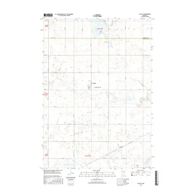
2016 Map of La Salle
USGS Topo · Published 2016About this map
Hanska Lake and the branching waters of the Watonwan River define this corner of the Minnesota prairie near the boundary of Brown and Watonwan counties. The landscape is primarily organized by its rural township grid, with the small village of La Salle serving as a central hub. Genealogical and local history points of interest include the La Salle Lutheran Cem and the Rosendale Cem located near the small community of Rosendale in the southeast. Smaller waterways like Saint James Cr and Butterfield Cr carve subtle patterns through the agricultural lands, while names like One Hundred Acre Slough and Ft Hill suggest the natural character of the terrain before it was fully settled and drained. The map also captures the settlement of Grogan, situated along the rail corridor in the southern portion of the quadrangle.
Find a feature on this map
64 named features on this map. Tap any name to fly to it.
Don’t see what you’re looking for? This feature index may not catch every label — zoom into the map to look around manually.
Map Details
Editions of this 2016 La Salle Map
This is the sole edition of this map. No revisions or reprints were ever made.
Other maps of this area

1953 · New Ulm
USGS Topo · 1:250,000

1954 · Fairmont
USGS Topo · 1:250,000

1957 · New Ulm
USGS Topo · 1:250,000

1958 · New Ulm
USGS Topo · 1:250,000

1958 · Fairmont
USGS Topo · 1:250,000

1965 · Madelia
USGS Topo · 1:24,000

1965 · Hanska
USGS Topo · 1:24,000

1967 · New Ulm
USGS Topo · 1:250,000

1967 · Lake Hanska West
USGS Topo · 1:24,000

1967 · Lewisville
USGS Topo · 1:24,000