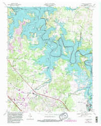
1968 Map of La Vergne
USGS Topo · Published 1984About this map
The J Percy Priest Reservoir dominates the landscape in this mid-century survey, its fingers reaching deep into the valleys of Stones River and Smith Springs Creek. This period marks a significant transition for the region, as the newly created reservoir transformed local topography and land use. Along the western banks, the Long Hunter State Park and various public use areas such as Smith Springs Public Use Area emerged as regional recreational hubs.
Find a feature on this map
59 named features on this map. Tap any name to fly to it.
Don’t see what you’re looking for? This feature index may not catch every label — zoom into the map to look around manually.
Map Details
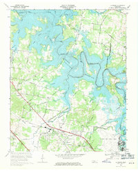
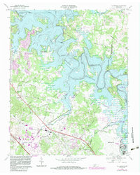
Editions of this 1968 La Vergne Map
3 editions found
Other maps of this area

1903 · Nashville
USGS Topo · 1:125,000

1916 · Murfreesboro
USGS Topo · 1:62,500

1932 · Hermitage
USGS Topo · 1:62,500

1942 · Lebanon
USGS Topo · 1:100,000

1950 · Walterhill
USGS Topo · 1:24,000

1951 · Martha
USGS Topo · 1:24,000

1952 · Hermitage
USGS Topo · 1:24,000

1952 · La Vergne
USGS Topo · 1:24,000

1952 · Nashville East
USGS Topo · 1:24,000

1952 · Antioch
USGS Topo · 1:24,000