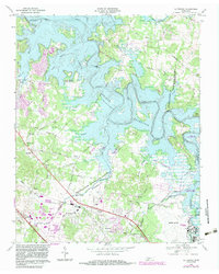
1968 Map of La Vergne
USGS Topo · Published 1984About this map
J Percy Priest Reservoir dominates this landscape, its winding shoreline and numerous inlets defining the transition between the Nashville-Davidson metropolitan area and Rutherford County. The map documents a period of suburban expansion and infrastructure growth, shown by the residential layouts of Eastwood and La Vergne alongside the Smyrna Airport and a prominent National Guard facility. This era sees the established rural fabric of small communities like Kimbro and Sandhill meeting new transportation corridors such as Interchange 62 on the interstate.
Find a feature on this map
67 named features on this map. Tap any name to fly to it.
Don’t see what you’re looking for? This feature index may not catch every label — zoom into the map to look around manually.
Map Details
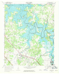
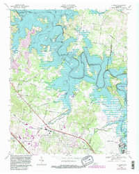
Editions of this 1968 La Vergne Map
3 editions found
Other maps of this area

1903 · Nashville
USGS Topo · 1:125,000

1916 · Murfreesboro
USGS Topo · 1:62,500

1932 · Hermitage
USGS Topo · 1:62,500

1942 · Lebanon
USGS Topo · 1:100,000

1950 · Walterhill
USGS Topo · 1:24,000

1951 · Martha
USGS Topo · 1:24,000

1952 · Hermitage
USGS Topo · 1:24,000

1952 · La Vergne
USGS Topo · 1:24,000

1952 · Nashville East
USGS Topo · 1:24,000

1952 · Antioch
USGS Topo · 1:24,000