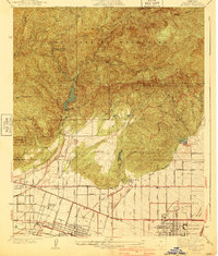
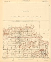
1940 Map of La Verne
USGS Topo · Published 1940About this map
The San Gabriel Mountains dominate this pre-war landscape, where rugged canyons transition into the developing citrus and academic belts of the eastern Los Angeles basin. The town of La Verne and the educational hubs of Claremont are clearly defined, featuring prominent institutions like Scripps College and Pomona College. Infrastructure for the growing region is evident through the Metropolitan Aqueduct and the Water Softening Plant, illustrating the intensive water management required for southern California's expansion. In the high country, Wolfskill Camp and the Flintham Memorial Forest Plantation highlight early 20th-century forest management and recreational use. Notable transit and utility lines, including the Pacific Electric railway and various transmission routes, reveal the connective tissue between these foothill communities and the larger metropolitan area.
Find a feature on this map
53 named features on this map. Tap any name to fly to it.
Don’t see what you’re looking for? This feature index may not catch every label — zoom into the map to look around manually.
Map Details
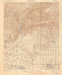
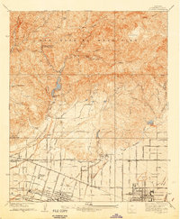
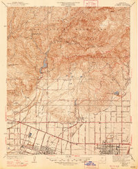
Editions of this 1940 La Verne Map
4 editions found
Other maps of this area

1894 · Pomona
USGS Topo · 1:62,500

1897 · Pomona
USGS Topo · 1:62,500

1897 · Cucamonga
USGS Topo · 1:62,500

1898 · Pomona
USGS Topo · 1:62,500

1900 · Cucamonga
USGS Topo · 1:62,500

1901 · Southern California Sheet No. 1
USGS Topo · 1:250,000

1903 · Cucamonga
USGS Topo · 1:62,500

1904 · Pomona
USGS Topo · 1:62,500

1904 · Southern California Sheet No. 1
USGS Topo · 1:250,000
1927 · Glendora
USGS Topo · 1:24,000