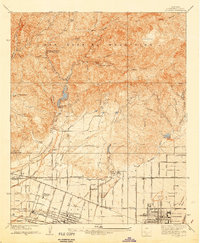
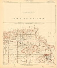
1940 Map of La Verne
USGS Topo · Published 1942About this map
The San Gabriel Mountains dominate the northern landscape of this survey, where firebreaks and transmission lines carve through the steep terrain above San Dimas Canyon. In the lower elevations, the transition from the wilderness of Wolfskill Camp to the structured growth of La Verne and Claremont is visible just before the region's mid-century expansion. The map documents a sophisticated water management and educational infrastructure, featuring the San Dimas Dam and the specialized Water Softening Plant. The academic character of the area is already well-established by 1940, with the campuses of Scripps College, Pomona College, and the Webb School clearly delineated. Agricultural and industrial footprints are marked by the Pacific Electric railroad lines and the Metropolitan Aqueduct, which intersect the San Bernardino Base Line in a grid that defines the developing valley floor.
Find a feature on this map
41 named features on this map. Tap any name to fly to it.
Don’t see what you’re looking for? This feature index may not catch every label — zoom into the map to look around manually.
Map Details
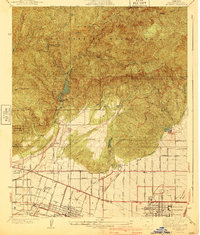
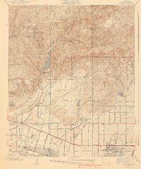
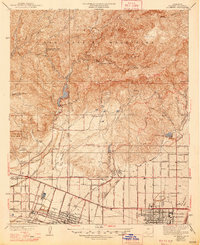
Editions of this 1940 La Verne Map
4 editions found
Other maps of this area

1894 · Pomona
USGS Topo · 1:62,500

1897 · Pomona
USGS Topo · 1:62,500

1897 · Cucamonga
USGS Topo · 1:62,500

1898 · Pomona
USGS Topo · 1:62,500

1900 · Cucamonga
USGS Topo · 1:62,500

1901 · Southern California Sheet No. 1
USGS Topo · 1:250,000

1903 · Cucamonga
USGS Topo · 1:62,500

1904 · Pomona
USGS Topo · 1:62,500

1904 · Southern California Sheet No. 1
USGS Topo · 1:250,000
1927 · Glendora
USGS Topo · 1:24,000