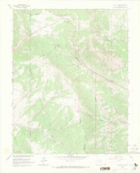
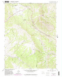
1963 Map of La Veta Pass
USGS Topo · Published 1971About this map
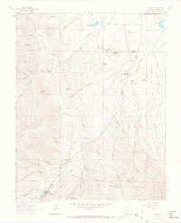
La Veta Pass serves as a primary geographic focus in this southern Colorado survey, illustrating the complex transit corridors through the Sangre de Cristo Mountains. The landscape is defined by its history of high-altitude movement, featuring the Denver and Rio Grande Western Wagon Toll Road following the path of Sangre de Cristo Creek. This mountain pass area has long been a critical link between the San Luis Valley and the eastern plains, shown here before modern highway realignments altered the historic approaches to North La Veta Pass.
Find a feature on this map
42 named features on this map. Tap any name to fly to it.
Don’t see what you’re looking for? This feature index may not catch every label — zoom into the map to look around manually.
Map Details
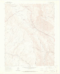
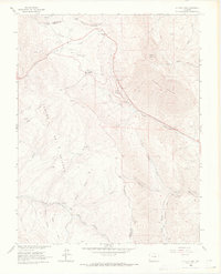
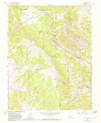
Editions of this 1963 La Veta Pass Map
7 editions found

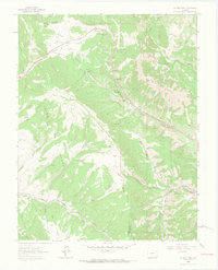
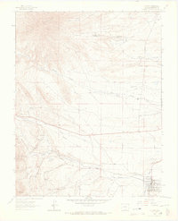
Other maps of this area

1889 · Huerfano Park
USGS Topo · 1:125,000

1892 · Huerfano Park
USGS Topo · 1:125,000

1954 · Trinidad
USGS Topo · 1:250,000

1955 · Trinidad
USGS Topo · 1:250,000

1958 · Trinidad
USGS Topo · 1:250,000

1959 · Trinidad
USGS Topo · 1:250,000
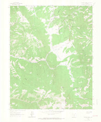
1963 · Mc Carty Park
USGS Topo · 1:24,000
1963 · La Veta Pass
USGS Topo · 1:24,000
1963 · La Veta
USGS Topo · 1:24,000
1963 · Cuchara
USGS Topo · 1:24,000