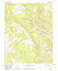
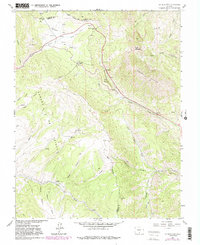
1963 Map of La Veta Pass
USGS Topo · Published 1982About this map
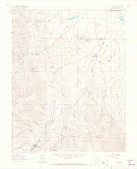
Sangre de Cristo Mountains peaks dominate this high-altitude landscape, where several historic thoroughfares converge to cross the continental divide. The mapping shows the critical infrastructure of mountain transit, including the Denver and Rio Grande Western railroad corridor winding through the terrain near the Muleshoe settlement. Historically significant routes like the Wagon Road and Toll Road follow the drainage of Sangre de Cristo Creek, illustrating the evolution of travel from early pack trails to modern transit. Distinctive landforms such as Mount Mestas, Dump Mountain, and the precarious Windy Point define the ridge-lines. For those tracing the history of the border between Huerfano and Costilla counties, the map provides a clear view of the Grant Boundary as it interacts with local hydrology like Yellowstone Creek and Abeyta Creek.
Find a feature on this map
40 named features on this map. Tap any name to fly to it.
Don’t see what you’re looking for? This feature index may not catch every label — zoom into the map to look around manually.
Map Details
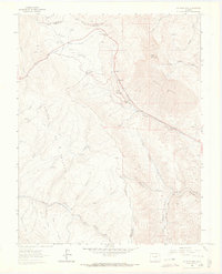
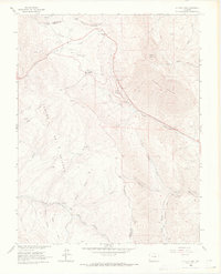
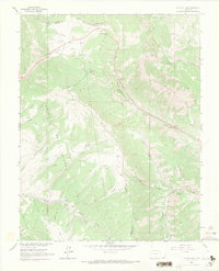
Editions of this 1963 La Veta Pass Map
7 editions found

Other maps of this area

1889 · Huerfano Park
USGS Topo · 1:125,000

1892 · Huerfano Park
USGS Topo · 1:125,000

1954 · Trinidad
USGS Topo · 1:250,000

1955 · Trinidad
USGS Topo · 1:250,000

1958 · Trinidad
USGS Topo · 1:250,000

1959 · Trinidad
USGS Topo · 1:250,000
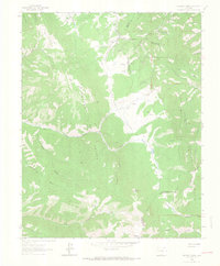
1963 · Mc Carty Park
USGS Topo · 1:24,000
1963 · La Veta Pass
USGS Topo · 1:24,000
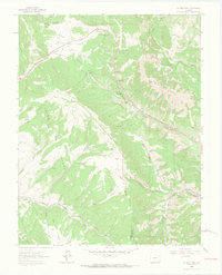
1963 · La Veta
USGS Topo · 1:24,000
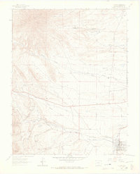
1963 · Cuchara
USGS Topo · 1:24,000