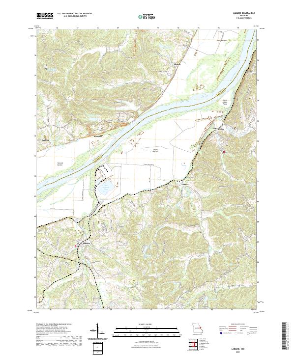
2021 Map of Labadie
USGS Topo · Published 2021About this map
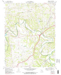
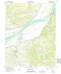
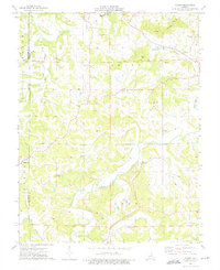
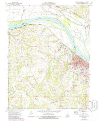
The Missouri River divides this landscape, creating a wide floodplain where Darst Bottoms, Hancock Bottom, and Labadie Bottoms provide flat, fertile ground between the bluffs. On the southern bank, the settlement of Labadie serves as a focal point near the modern industrial site of the Ash Disposal Pond. Further east, the community of Saint Albans is situated near the riverbend and Saint Albans Island, while Oetters lies tucked among the hills to the south. The northern bank features the town of Augusta and the former quarry site at Klondike, which now incorporates Klondike Lake and various recreational paths like the Katy Trl. The terrain is characterized by deep ravines and ridges, including Tavern Rock and Rocky Cove, with drainage provided by local watercourses such as Lartte Cr, Labadie Cr, and Fiddle Cr. This layout reflects a modern balance between historic river-bottom farming, contemporary industry, and the growing residential pockets of Las Brisas Lake.
Find a feature on this map
132 named features on this map. Tap any name to fly to it.
Don’t see what you’re looking for? This feature index may not catch every label — zoom into the map to look around manually.
Map Details
Editions of this 2021 Labadie Map
This is the sole edition of this map. No revisions or reprints were ever made.
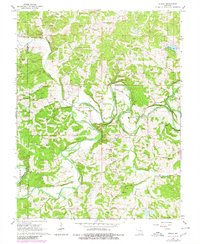
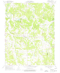
Historical Maps of Matson Through Time
16 maps found
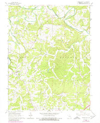
1966 Spring Bluff
Franklin County, MO
1966 Strain
Franklin County, MO
1969 Lonedell
Franklin County, MO
1969 Moselle
Franklin County, MO
1972 Labadie
Franklin County, MO
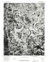
1973 Dissen
Franklin County, MO
1973 Washington West
Franklin County, MO
1980 Moselle
Franklin County, MO
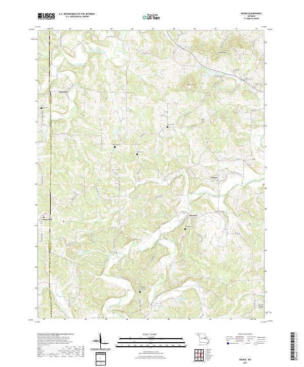
2021 Dissen
Franklin County, MO
2021 Labadie
Franklin County, MO
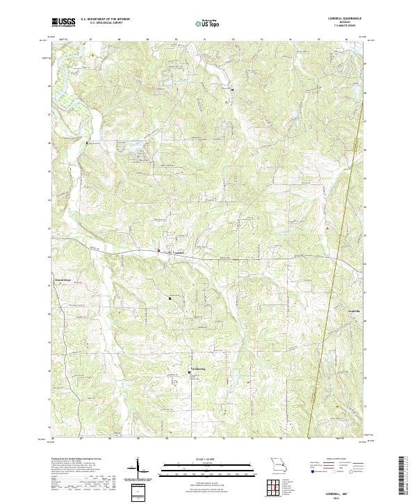
2021 Lonedell
Franklin County, MO
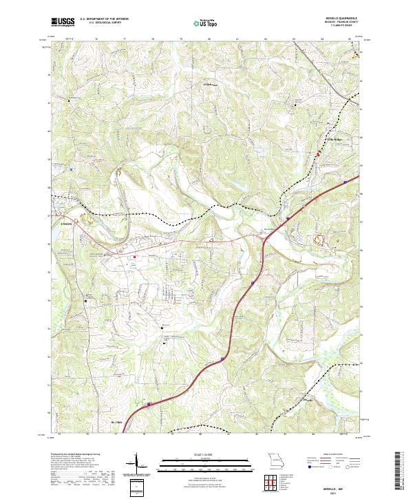
2021 Moselle
Franklin County, MO
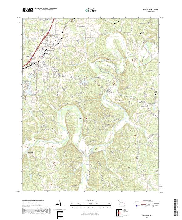
2021 Saint Clair
Franklin County, MO
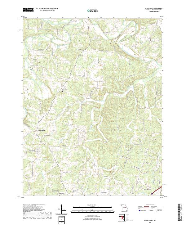
2021 Spring Bluff
Franklin County, MO
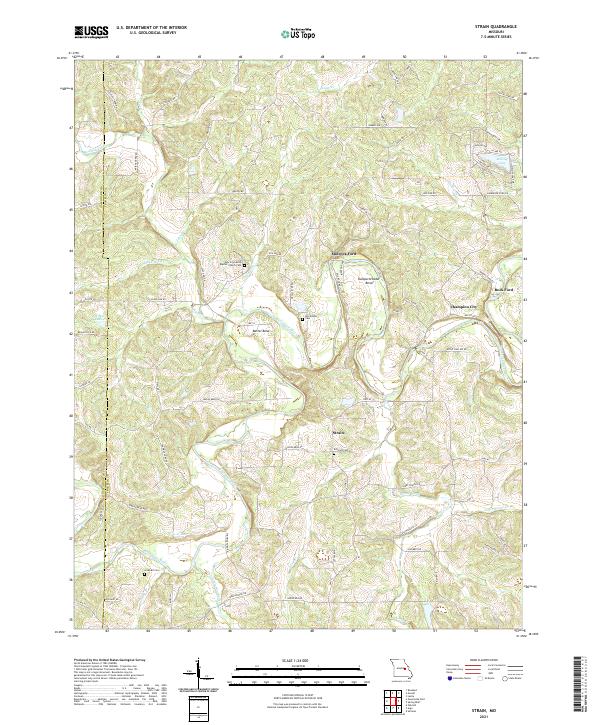
2021 Strain
Franklin County, MO
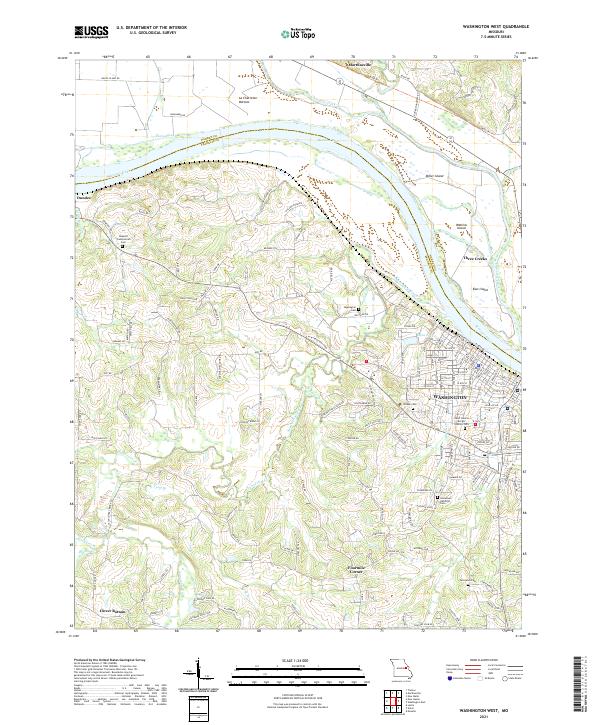
2021 Washington West
Franklin County, MO