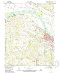
1973 Map of Washington West
USGS Topo · Published 1986About this map
Washington anchors this Missouri River landscape as it appeared in the early 1970s, positioned where the Missouri Pacific railroad follows the southern bank. Across the water, the Missouri - Kansas - Texas line traces the northern shoreline through the La Charrette Bottom and past the Daniel Boone Monument. The map captures a detailed snapshot of the town's social infrastructure, from the St. Francis Borgia School and Lutheran School to the various community spaces like VFW Park and the Franklin County Country Club.
Find a feature on this map
55 named features on this map. Tap any name to fly to it.
Don’t see what you’re looking for? This feature index may not catch every label — zoom into the map to look around manually.
Map Details
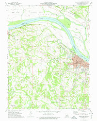
Editions of this 1973 Washington West Map
2 editions found
Other maps of this area

1890 · Hermann
USGS Topo · 1:125,000

1901 · De Soto
USGS Topo · 1:125,000

1903 · O'Fallon
USGS Topo · 1:125,000

1903 · Sullivan
USGS Topo · 1:125,000

1946 · Union
USGS Topo · 1:62,500

1947 · St. Clair
USGS Topo · 1:62,500

1948 · Union
USGS Topo · 1:62,500

1948 · Washington
USGS Topo · 1:62,500

1948 · Augusta
USGS Topo · 1:62,500

1949 · Saint Louis
USGS Topo · 1:250,000