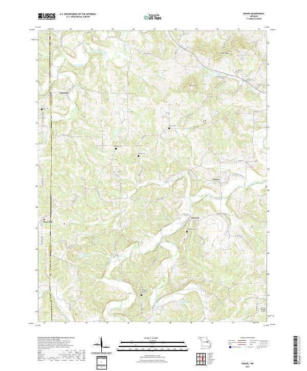
2021 Map of Dissen
USGS Topo · Published 2021About this map
Boeuf Creek and Big Berger Creek define the drainage of this dissected landscape in Franklin and Gasconade counties. Small agricultural settlements like Dissen, Detmold, and Stony Hill are connected by a network of winding roads, including Highway E and State Hwy E. The map is particularly detailed regarding local family and community history, marking several burial grounds such as Dahl Cem, Kohlbush Cem, and Helling Cem.
Find a feature on this map
64 named features on this map. Tap any name to fly to it.
Don’t see what you’re looking for? This feature index may not catch every label — zoom into the map to look around manually.
Map Details
Editions of this 2021 Dissen Map
This is the sole edition of this map. No revisions or reprints were ever made.
Other maps of this area

1890 · Hermann
USGS Topo · 1:125,000

1903 · Sullivan
USGS Topo · 1:125,000

1935 · Gerald
USGS Topo · 1:48,000

1936 · Hermann
USGS Topo · 1:48,000

1941 · Gerald
USGS Topo · 1:62,500

1942 · Hermann
USGS Topo · 1:62,500

1944 · Gerald
USGS Topo · 1:62,500

1945 · Hermann
USGS Topo · 1:62,500

1946 · Union
USGS Topo · 1:62,500

1948 · Union
USGS Topo · 1:62,500