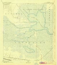
1892 Map of Lac Des Allemands
USGS Topo · Published 1925About this map
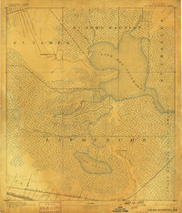
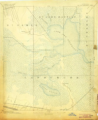
Lake Des Allemands dominates this late-nineteenth-century survey of the southeastern Louisiana wetlands where the borders of St. James, St. John Baptist, St. Charles, and Lafourche parishes converge. The landscape is defined by an intricate network of waterways, including Bayou Chevreuil and the winding Bayou Chactimaghan, which drain into the Grand Prairie Des Allemands. Human presence is concentrated along the higher ground of the rail corridors and major bayous. To the south, the Southern Pacific Railroad passes through Ewing and near Raceland Station alongside Bayou Lafourche, while the northern reach shows Vacherie and the T. & P. R. R. lines. A significant archaeological feature, an Indian Mound, is noted near the banks of Bayou Boeuf, offering a rare glimpse into the region's pre-colonial history within the dense marshland environment.
Find a feature on this map
22 named features on this map. Tap any name to fly to it.
Don’t see what you’re looking for? This feature index may not catch every label — zoom into the map to look around manually.
Map Details
Editions of this 1892 Lac Des Allemands Map
4 editions found
Other maps of this area

1891 · Hahnville
USGS Topo · 1:62,500

1892 · Lac Des Allemands
USGS Topo · 1:62,500

1892 · Mount Airy
USGS Topo · 1:62,500

1892 · Gibson
USGS Topo · 1:62,500

1892 · Bonnet Carre
USGS Topo · 1:62,500

1892 · Cut-Off
USGS Topo · 1:62,500

1892 · Houma
USGS Topo · 1:62,500

1892 · Donaldsonville
USGS Topo · 1:62,500

1892 · Thibodaux
USGS Topo · 1:62,500

1897 · Gibson
USGS Topo · 1:62,500