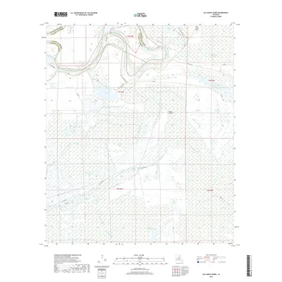
2018 Map of Lac Sainte Agnes
USGS Topo · Published 2018About this map
The Red River defines the western edge of this landscape, its serpentine path historically shaping the border between Avoyelles and Catahoula Parishes. This is a world of interconnected water bodies and bottomlands, where the Saline Cutoff and Old Red River indicate the river's shifting nature over time. The map reveals an intricate network of lacustrine features and cypress brakes, such as Lac Sainte Agnes and Lac Ophelia, which dominate the central and eastern portions of the quadrangle.
Find a feature on this map
56 named features on this map. Tap any name to fly to it.
Don’t see what you’re looking for? This feature index may not catch every label — zoom into the map to look around manually.
Map Details
Editions of this 2018 Lac Sainte Agnes Map
This is the sole edition of this map. No revisions or reprints were ever made.
Other maps of this area

1935 · Tooleys
USGS Topo · 1:62,500

1940 · Marksville
USGS Topo · 1:62,500

1941 · Voorhies
USGS Topo · 1:62,500

1941 · Buckeye
USGS Topo · 1:62,500

1941 · Tooleys
USGS Topo · 1:62,500

1953 · Alexandria
USGS Topo · 1:250,000

1953 · Natchez
USGS Topo · 1:250,000

1955 · Alexandria
USGS Topo · 1:250,000

1956 · Natchez
USGS Topo · 1:250,000

1959 · Natchez
USGS Topo · 1:250,000