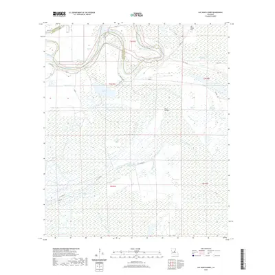
2020 Map of Lac Sainte Agnes
USGS Topo · Published 2020About this map
The complex wetland landscape of Avoyelles Parish and Catahoula Parish is defined here by the winding course of the Red River, including the distinct Saline Cutoff and the Old Red River channel. This 2020 survey reveals a saturated terrain of backwater lakes and bayous that have historically shaped local movement and property lines. Prominent water bodies such as Lac Sainte Agnes, Lac Moreau, and Bill Book Lake anchor the northern reaches, while the central portion is dominated by the sprawling Indian Cypress Brake.
Find a feature on this map
53 named features on this map. Tap any name to fly to it.
Don’t see what you’re looking for? This feature index may not catch every label — zoom into the map to look around manually.
Map Details
Editions of this 2020 Lac Sainte Agnes Map
This is the sole edition of this map. No revisions or reprints were ever made.
Other maps of this area

1935 · Tooleys
USGS Topo · 1:62,500

1940 · Marksville
USGS Topo · 1:62,500

1941 · Voorhies
USGS Topo · 1:62,500

1941 · Buckeye
USGS Topo · 1:62,500

1941 · Tooleys
USGS Topo · 1:62,500

1953 · Alexandria
USGS Topo · 1:250,000

1953 · Natchez
USGS Topo · 1:250,000

1955 · Alexandria
USGS Topo · 1:250,000

1956 · Natchez
USGS Topo · 1:250,000

1959 · Natchez
USGS Topo · 1:250,000