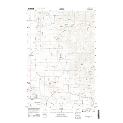
2013 Map of Lacamas Creek
USGS Topo · Published 2013About this map
Hockinson and Livingston anchor this portrait of Clark County’s evolving landscape, where the flatlands of Vancouver give way to the rising foothills of Elkhorn Mtn and Livingston Mtn. The hydrology is defined by the intricate network of Lacamas Creek and its many tributaries, including Fifth Plain Cr and Matney Cr, which feed south toward Lacamas Lake. The 2013 survey shows a mix of suburban expansion and industrial remnants, such as the English Pit and Green Mountain Golf Course. Aviation history is well-represented by both Green Mountain Airport and Grove Field Airport. To the north, the terrain transitions into a more rural pattern of timbered heights like Little Elkhorn and Little Baldy, while the southern reaches show the established residential grids of Mill Plain and Fern Prairie.
Find a feature on this map
154 named features on this map. Tap any name to fly to it.
Don’t see what you’re looking for? This feature index may not catch every label — zoom into the map to look around manually.
Map Details
Editions of this 2013 Lacamas Creek Map
This is the sole edition of this map. No revisions or reprints were ever made.
Other maps of this area

1897 · Portland
USGS Topo · 1:62,500

1905 · Portland
USGS Topo · 1:62,500

1918 · Troutdale
USGS Topo · 1:62,500

1934 · Troutdale
USGS Topo · 1:48,000

1940 · Portland
USGS Topo · 1:62,500

1940 · La Center
USGS Topo · 1:62,500

1941 · Yacolt
USGS Topo · 1:62,500

1941 · Camas
USGS Topo · 1:62,500

1942 · Camas
USGS Topo · 1:62,500

1948 · Vancouver
USGS Topo · 1:250,000