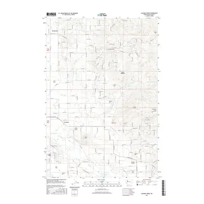
2017 Map of Lacamas Creek
USGS Topo · Published 2017About this map
Green Mountain Airport and the surrounding agricultural and timbered uplands of Clark County define this modern topographic study. The landscape is a mix of residential growth and natural drainages, with the Lacamas Creek system winding south toward Lacamas Lake. Historically significant settlements like Hockinson and Proebstel serve as anchors for a dense network of country roads, such as NE Fourth Plain Rd and NE 159th St. The terrain rises sharply to the east toward Livingston Mtn and Elkhorn Mtn, marking the transition from the lowlands of Mill Plain to the foothills. Industrial activity is noted at the English Pit, while local water management is evidenced by the Clark Reservoir and the engineered channels of China Ditch and Big Ditch, which redirect the natural flow of the local creek systems.
Find a feature on this map
104 named features on this map. Tap any name to fly to it.
Don’t see what you’re looking for? This feature index may not catch every label — zoom into the map to look around manually.
Map Details
Editions of this 2017 Lacamas Creek Map
This is the sole edition of this map. No revisions or reprints were ever made.
Other maps of this area

1897 · Portland
USGS Topo · 1:62,500

1905 · Portland
USGS Topo · 1:62,500

1918 · Troutdale
USGS Topo · 1:62,500

1934 · Troutdale
USGS Topo · 1:48,000

1940 · Portland
USGS Topo · 1:62,500

1940 · La Center
USGS Topo · 1:62,500

1941 · Yacolt
USGS Topo · 1:62,500

1941 · Camas
USGS Topo · 1:62,500

1942 · Camas
USGS Topo · 1:62,500

1948 · Vancouver
USGS Topo · 1:250,000