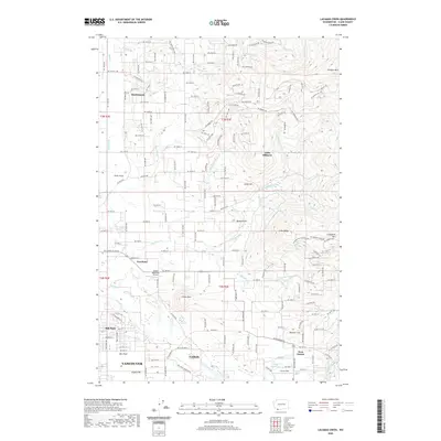
2020 Map of Lacamas Creek
USGS Topo · Published 2020About this map
Hockinson and Proebstel anchor this landscape where residential expansion meets the high foothills of the Cascade Range. The terrain is defined by a series of prominent rises including Elkhorn Mtn, Livingston Mtn, and Green Mtn, while the southern reaches transition into the settled plains of Mill Plain and Fern Prairie. Aviation interests are well-represented by the Green Mountain Airport and Grove Field, highlighting the area's role as a regional hub for light aircraft.
Find a feature on this map
149 named features on this map. Tap any name to fly to it.
Don’t see what you’re looking for? This feature index may not catch every label — zoom into the map to look around manually.
Map Details
Editions of this 2020 Lacamas Creek Map
This is the sole edition of this map. No revisions or reprints were ever made.
Other maps of this area

1897 · Portland
USGS Topo · 1:62,500

1905 · Portland
USGS Topo · 1:62,500

1918 · Troutdale
USGS Topo · 1:62,500

1934 · Troutdale
USGS Topo · 1:48,000

1940 · Portland
USGS Topo · 1:62,500

1940 · La Center
USGS Topo · 1:62,500

1941 · Yacolt
USGS Topo · 1:62,500

1941 · Camas
USGS Topo · 1:62,500

1942 · Camas
USGS Topo · 1:62,500

1948 · Vancouver
USGS Topo · 1:250,000